


Case description
Liancheng County, located on the east side of the southern section of Wuyi Mountain, is a beaded river valley basin from north to south, and the Meihua Mountain in the tortoiseshell mountain range to the east and southeast. It occupies about two-thirds of the entire territory, and the terrain is relatively high. High, overlapping hills, undulating mountains, crisscrossing peaks and ravines, and dense streams. Among them, the Jiangjun Mountain in Quxi is the origin of the three rivers in the county. It breeds streams that resemble mesh-like veins radiating all around, dividing the Minjiang River and the Minjiang River. The Tingjiang River and the Jiulong River rush into the East China Sea and the South China Sea; the Songmaoling sub-middle mountain area, which is a branch of the Wuyi Mountain in the west, has towering peaks and mountains. The situation is dangerous. It has become a barrier to the northwest of the county in the Long Corridor Basin. The natural boundary of the neighboring county Changting.
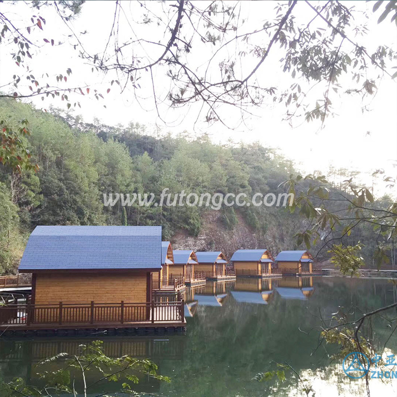
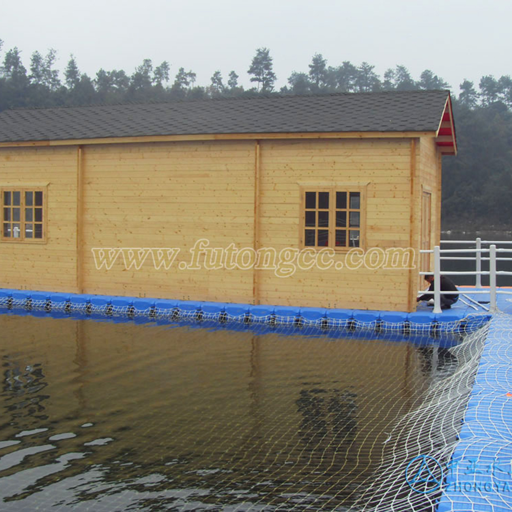
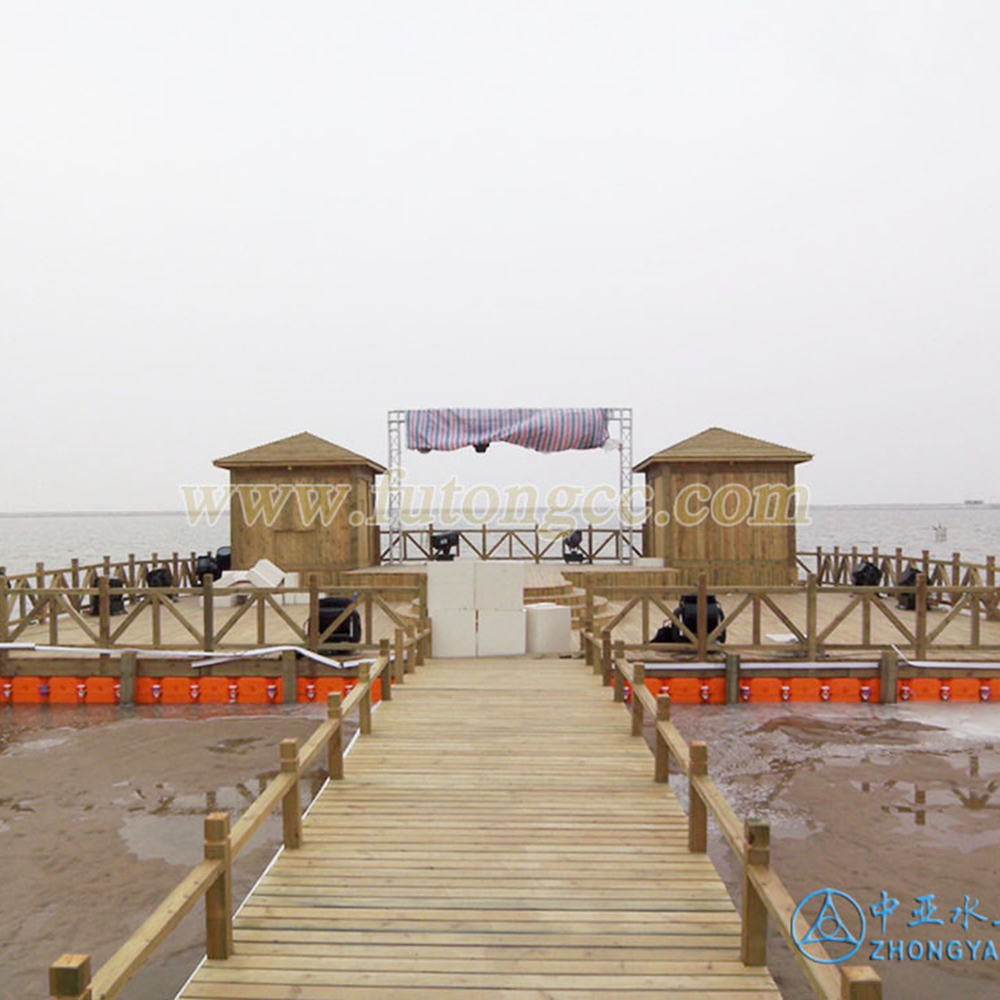
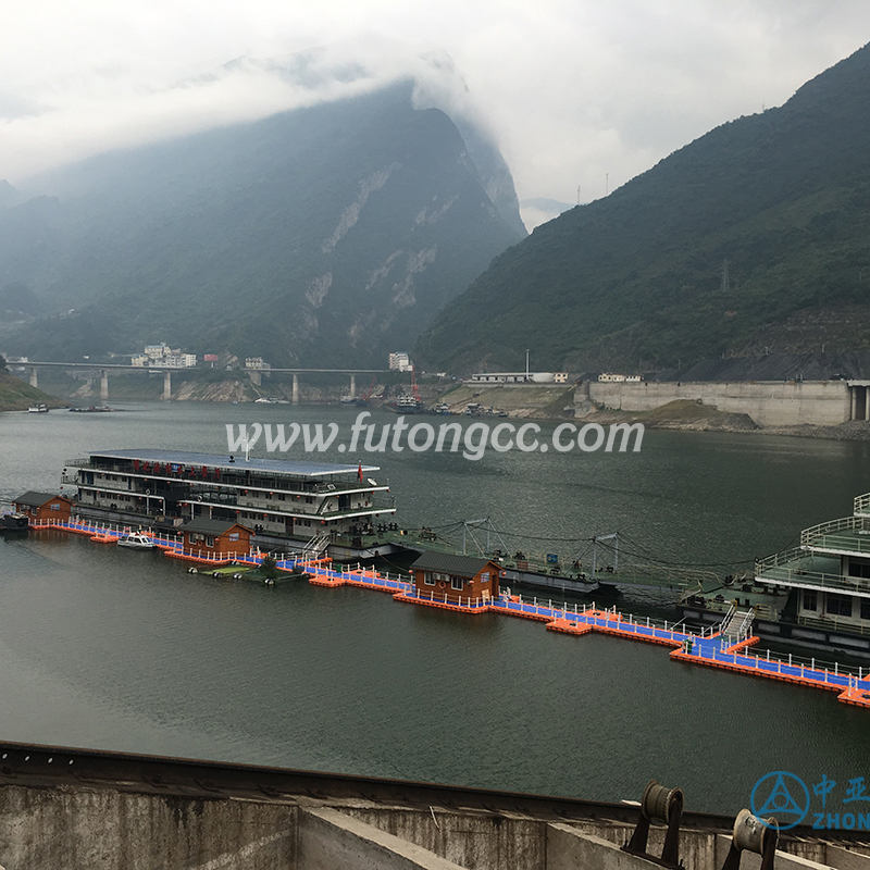
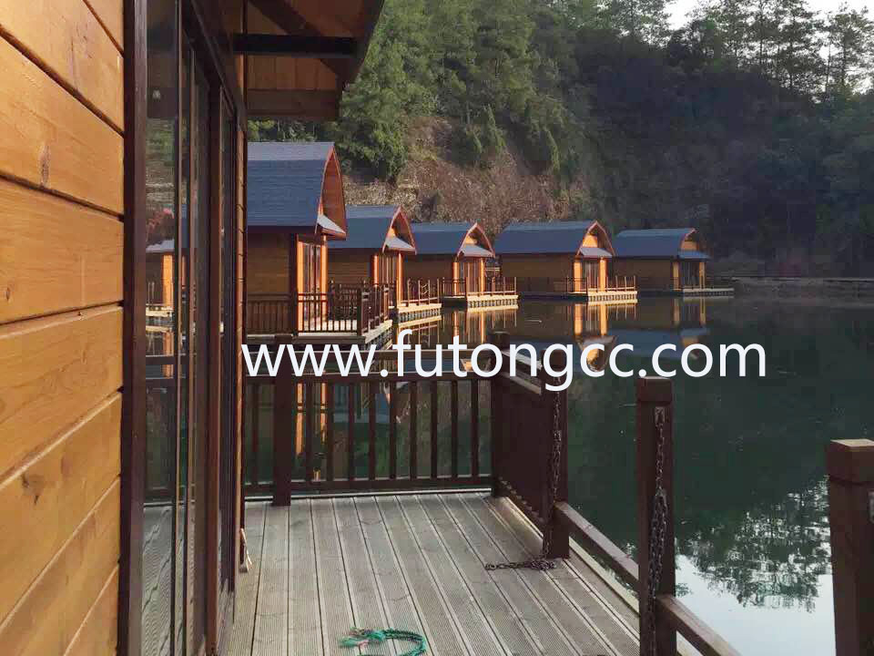
The beautiful scenery and gorgeous wooden houses form a unique landscape!
Contact us