Case description
Handan is bounded by Liaocheng, Shandong on the east, Anyang, Henan on the south, Changzhi, Shanxi on the west, and Xingtai on the map of Handan in the north. The north-south banned words are 104 kilometers long and the east-west banned words are 180 kilometers wide. The total area is 12,062 square kilometers, of which the urban area is 434 square kilometers and the urban built-up area is 106 square kilometers.
The terrain of Handan City descends stepwise from west to east, with great height differences, and complex and diverse landform types. With the Beijing-Guangzhou Railway as the boundary, the west is the middle and low mountain and hilly landforms, and the east is the North China Plain. The highest altitude is 1898.7 meters, the lowest is 32.7 meters, the relative elevation difference is 1866 meters, and the total slope is 11.8‰. The city can be roughly divided into five steps from west to east: the middle mountain in the northwest, the low mountain in the west, the low mountain and hilly area in the middle, the central basin, and the eastern alluvial plain.
Success case

Qingdao Olympic Sailing Center Floating Pier
Shanghai Sheshan Forest Park
Baoji Town, Binzhou, Shandong
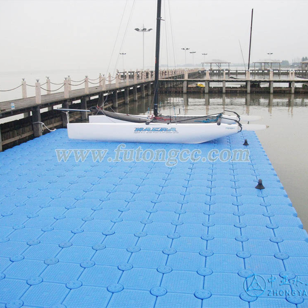
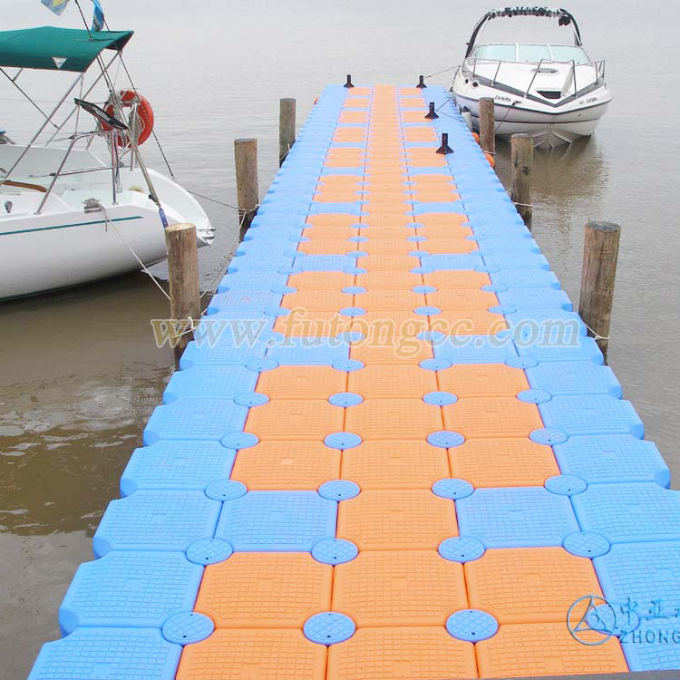
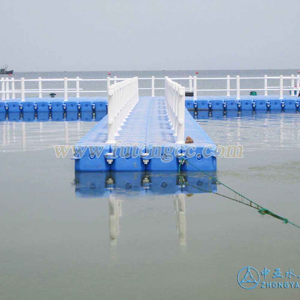
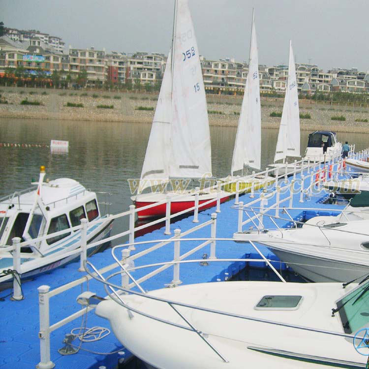
Wu-Rhine Sailing Club
Beijing Ministry of Foreign Affairs Training Center
Yingkou, Liaoning
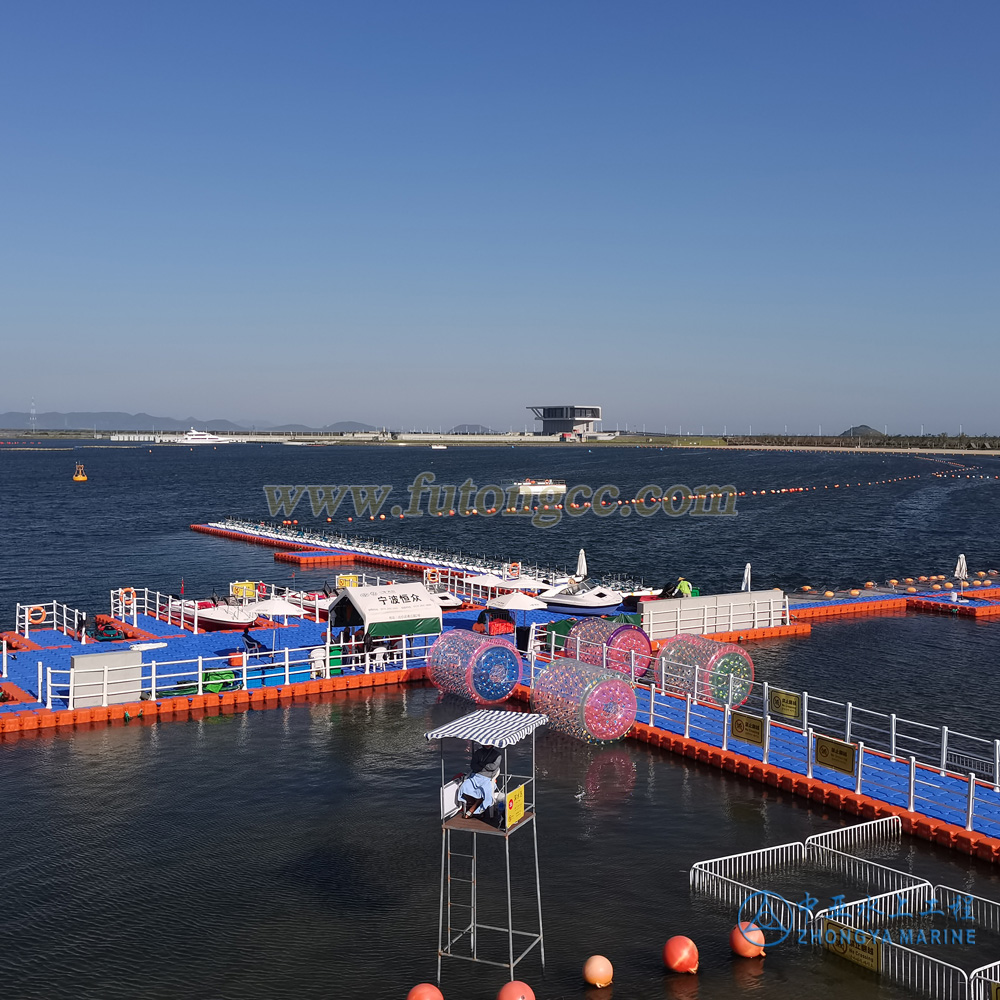
Ningbo Meishan Wannian Foundation
Foreign water platform
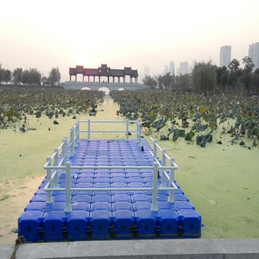
Wuhan Shahu Park
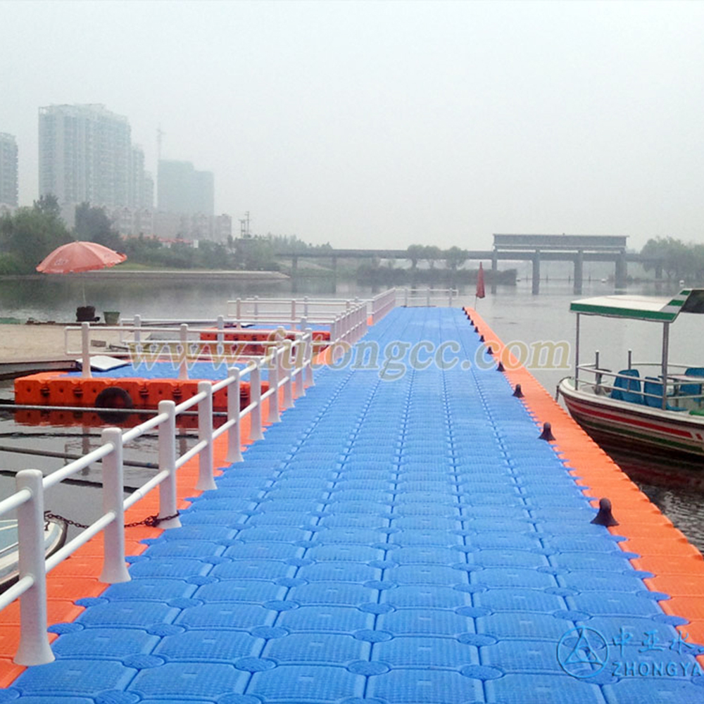
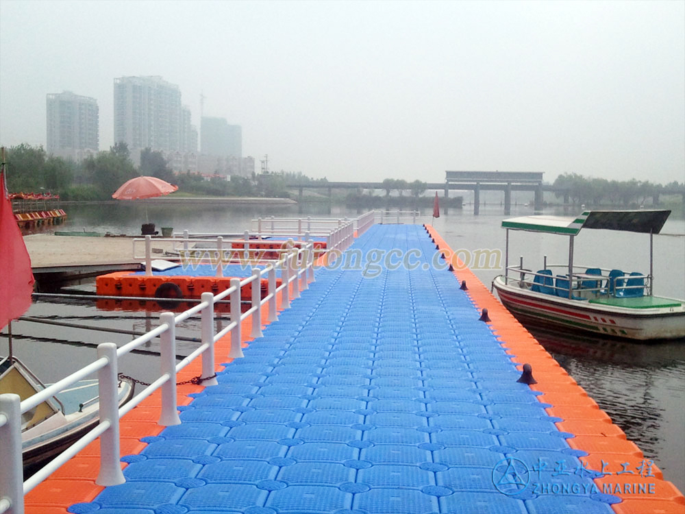
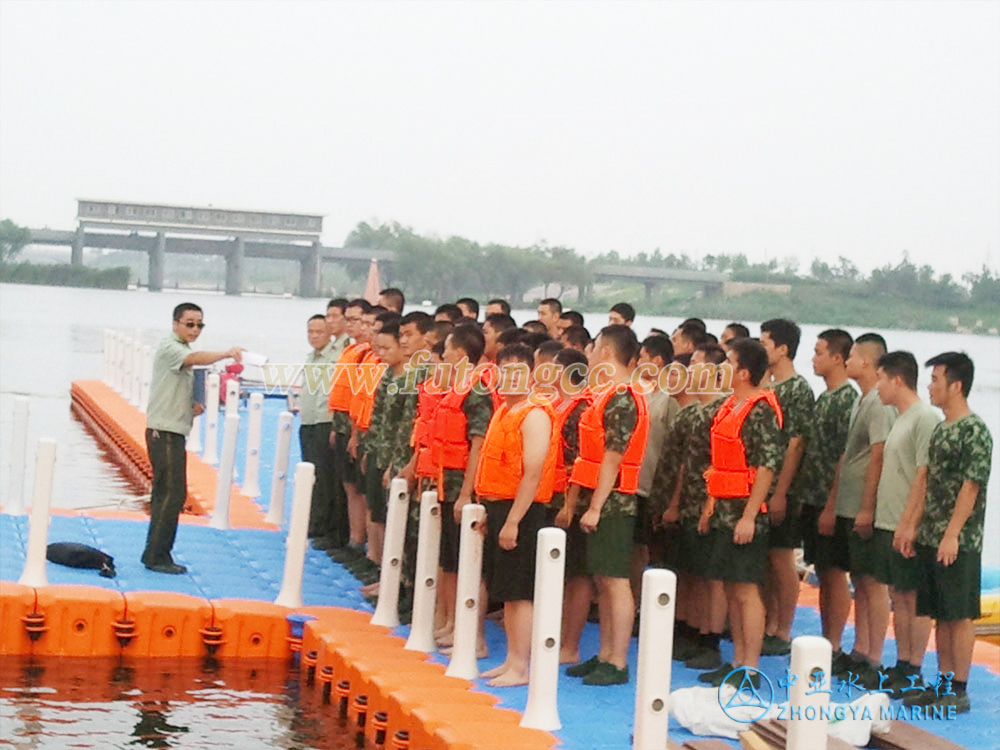
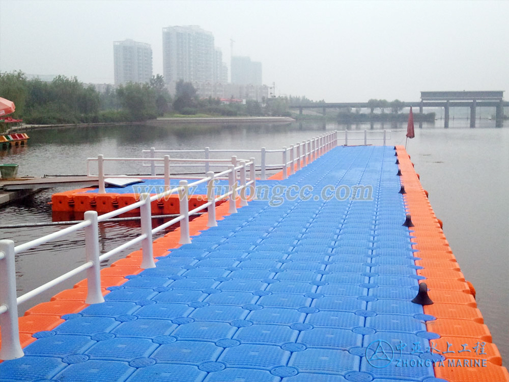
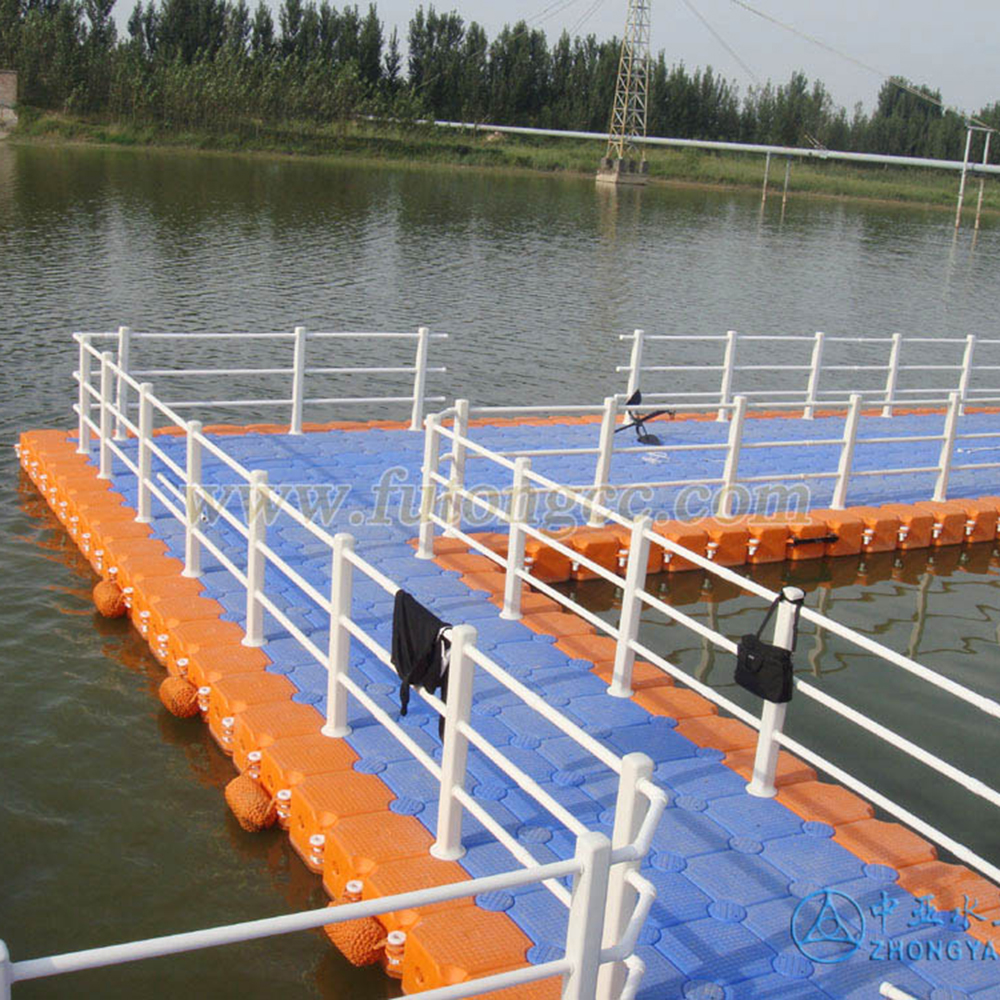
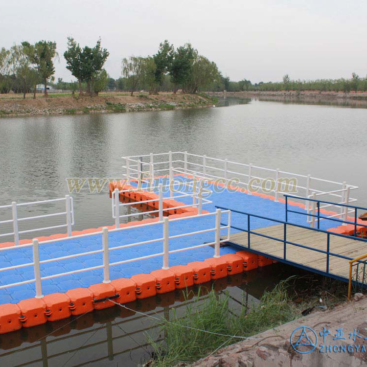
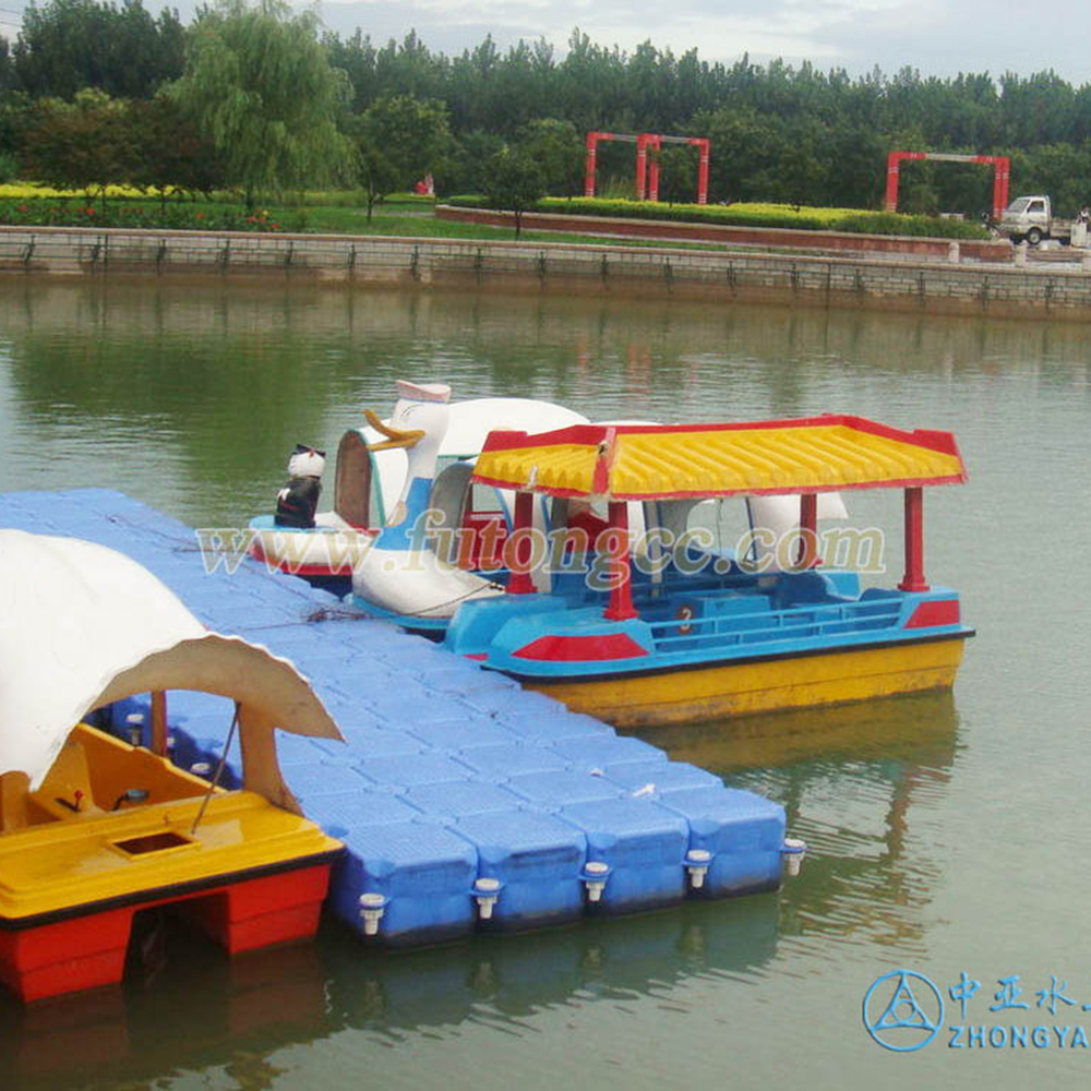
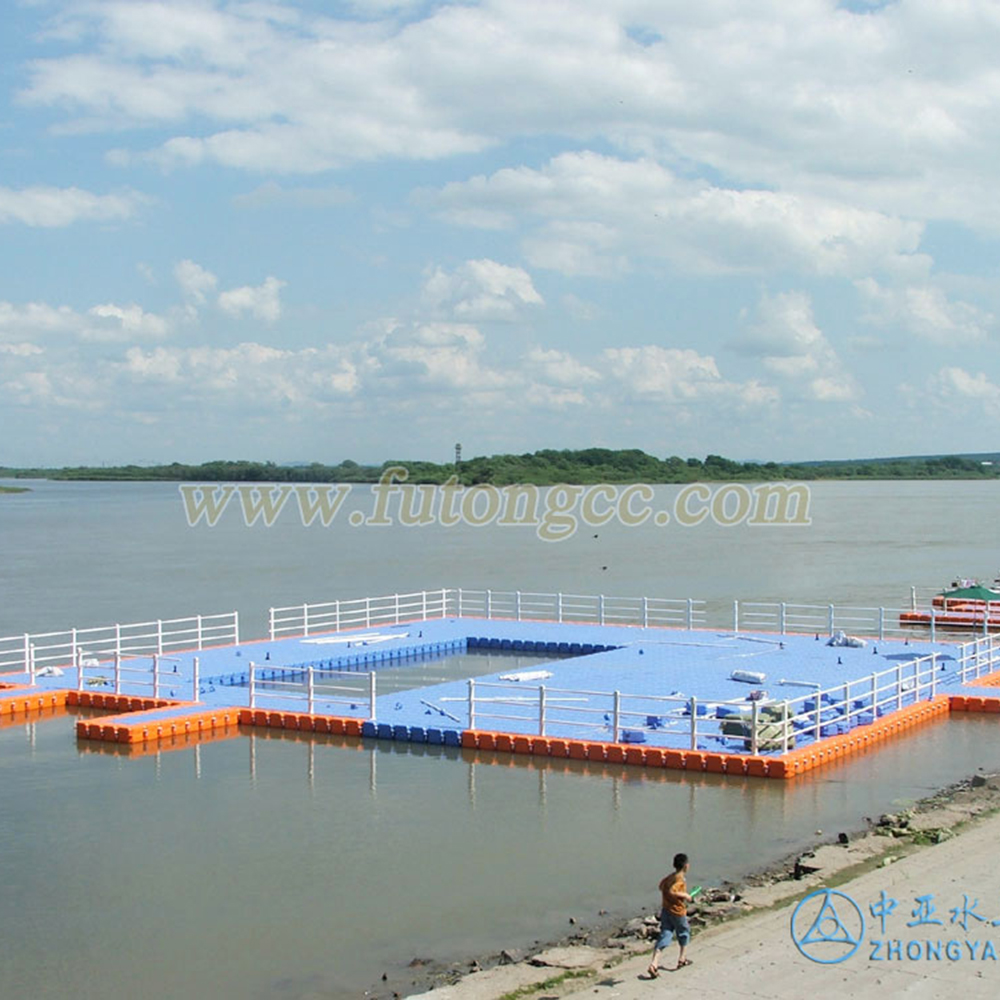
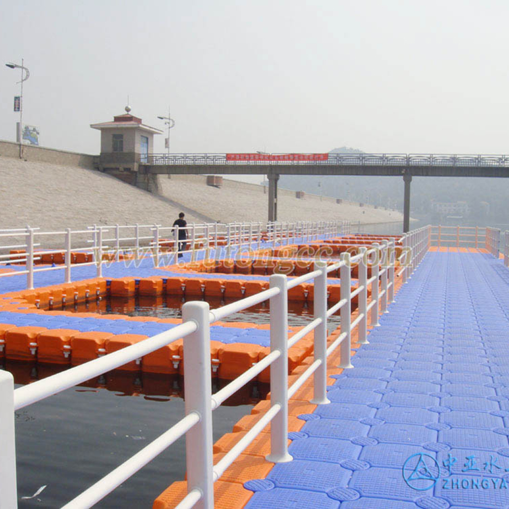
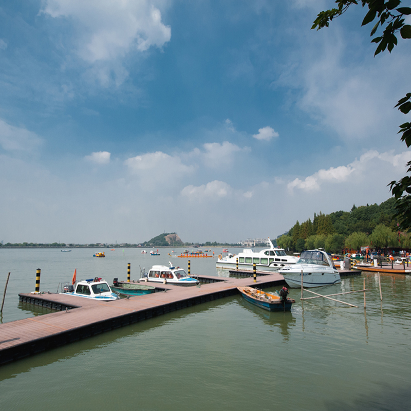
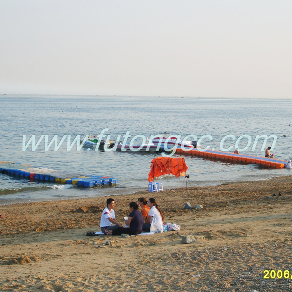
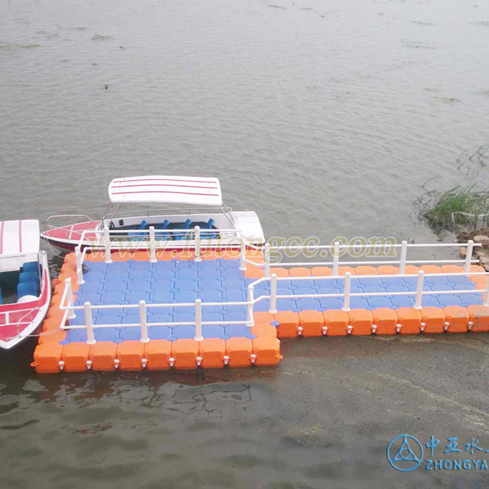
South Lake Wharf of Handan Landscape Bureau
Marina at Lake Nandai, Brazil
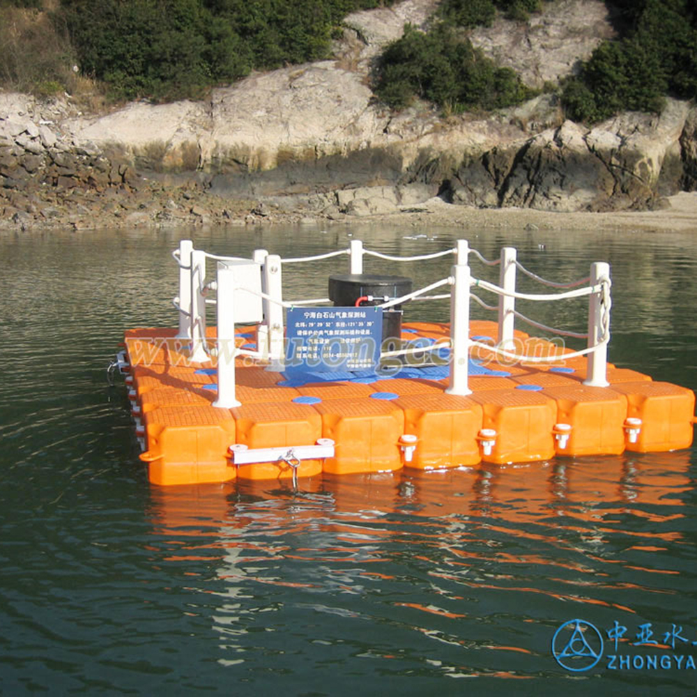
Ningbo Meteorological Bureau Testing Platform
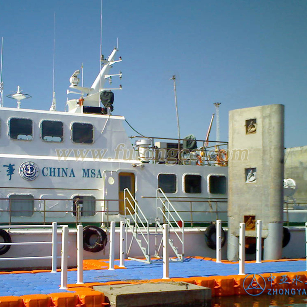
Dalian Laohutan Fisherman's Wharf
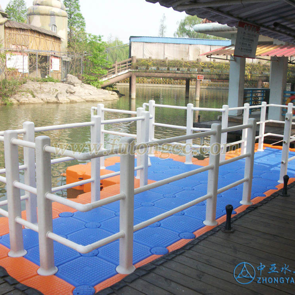
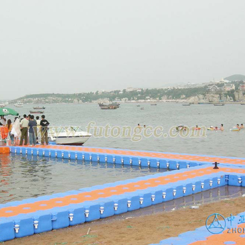
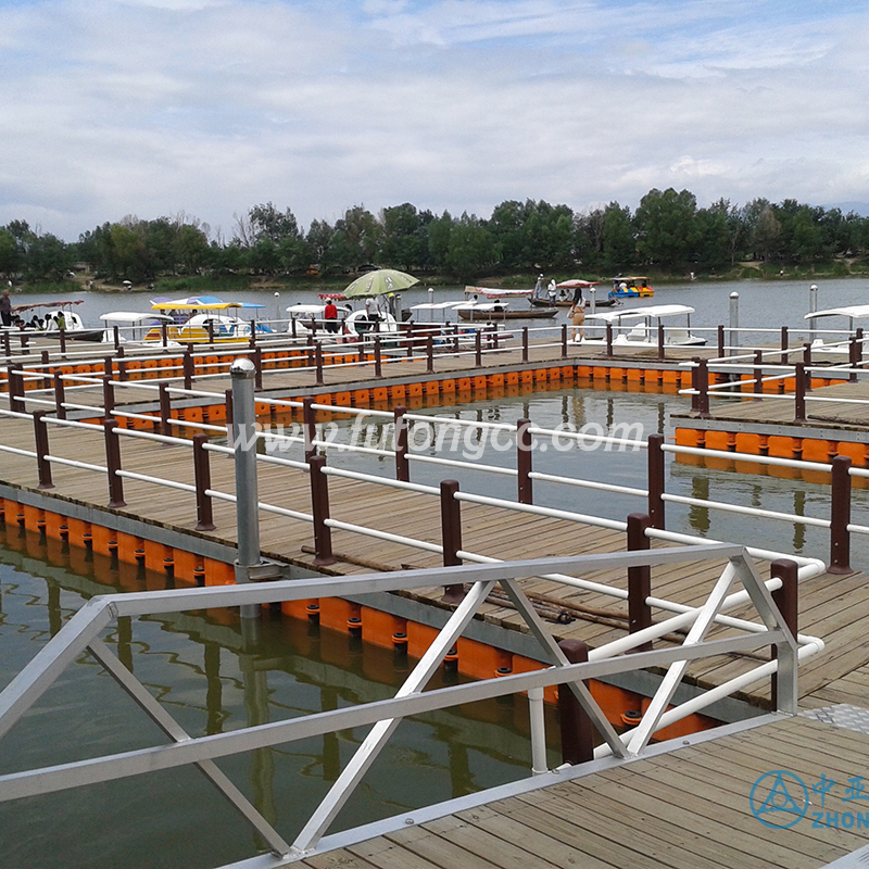
Suzhou Amusement Park

Floating Wharf in Xishuangbanna, Yunnan

Shanghai Gucun Park Floating Pier
Shandong Sunwu Lake Cruise Terminal
Chongqing Hanfeng Lake Floating Pier
Hubei Yichang Tianlong Bay Floating Platform
Xingyi, Jiangsu

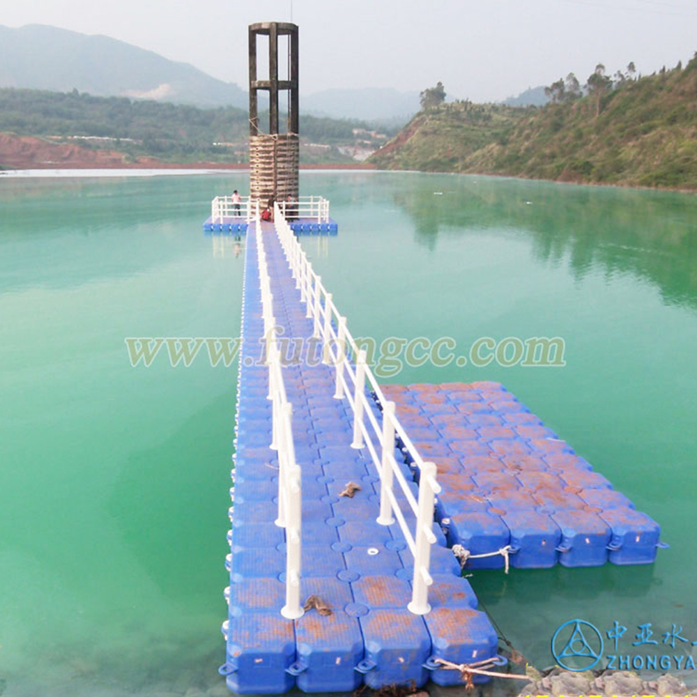
Heilongjiang Jingbo Lake Wharf
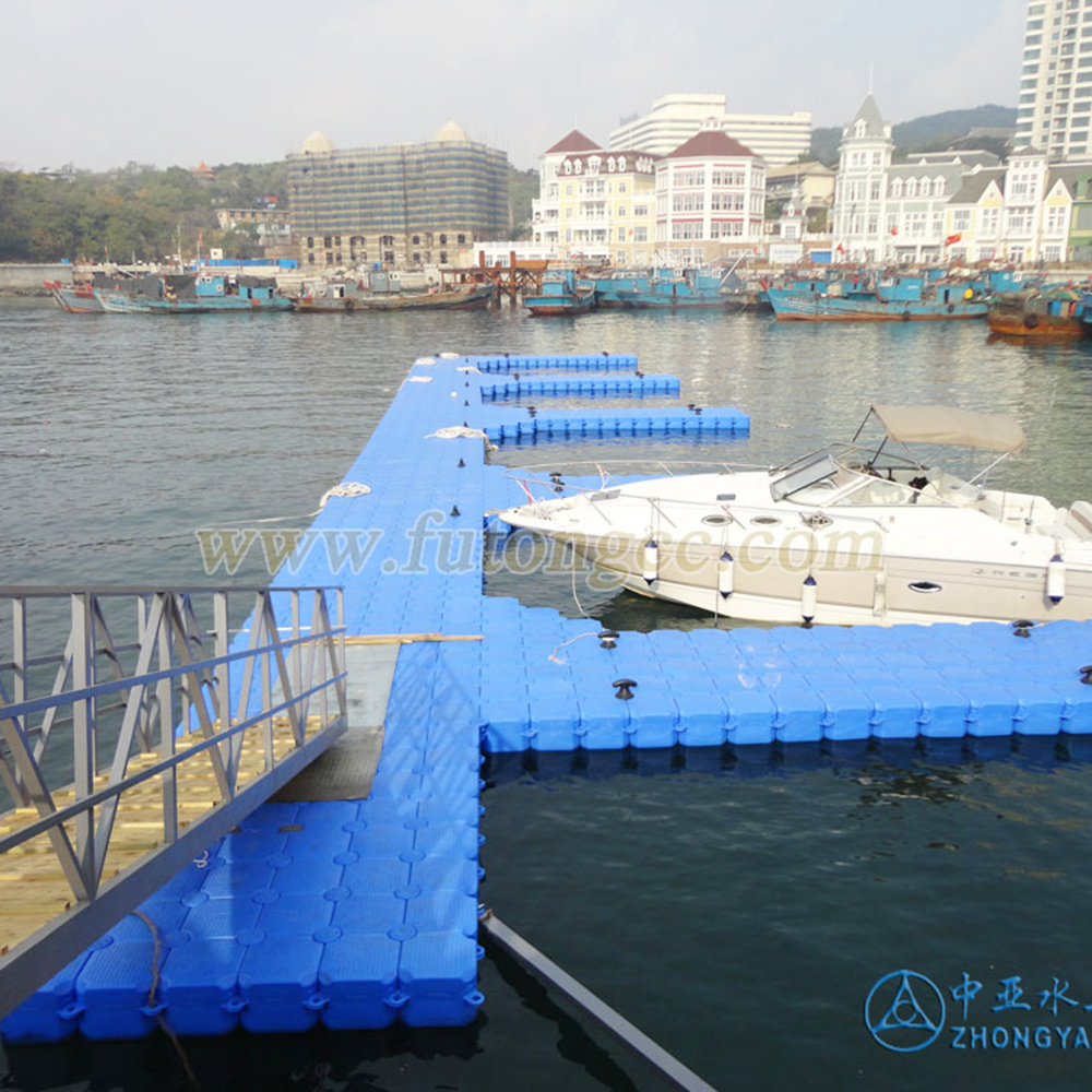
Shandong Weihai Floating Wharf
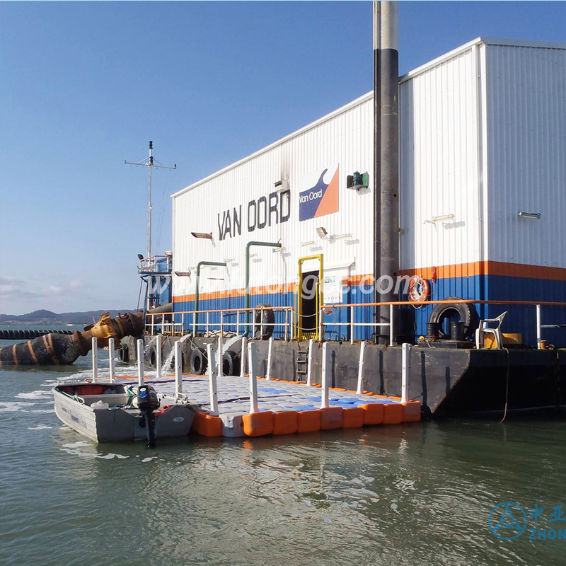
Yunnan Salt Chemical Construction Work Platform
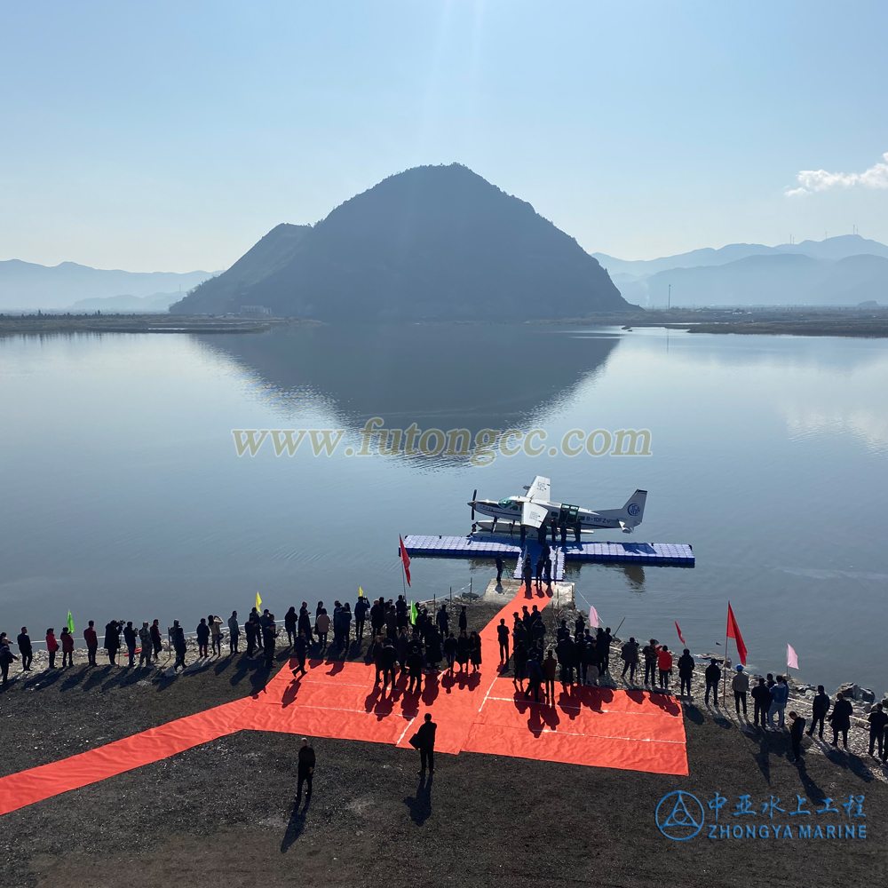
Sanmen Guman Island Seaplane
Lihu Yacht Wharf, Wuxi, Jiangsu
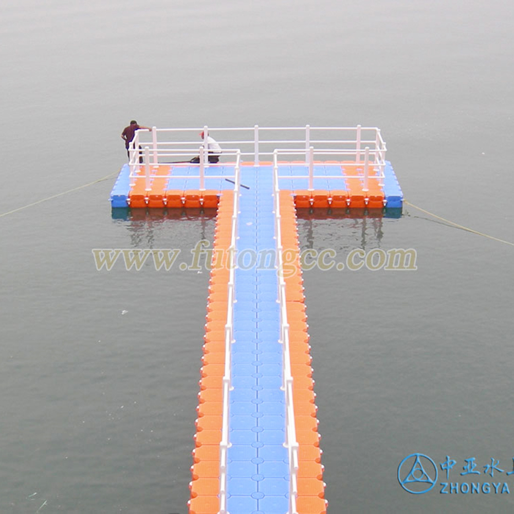
Thousand Island Lake T-shaped water platform
Jixi Hulin Swimming Pool
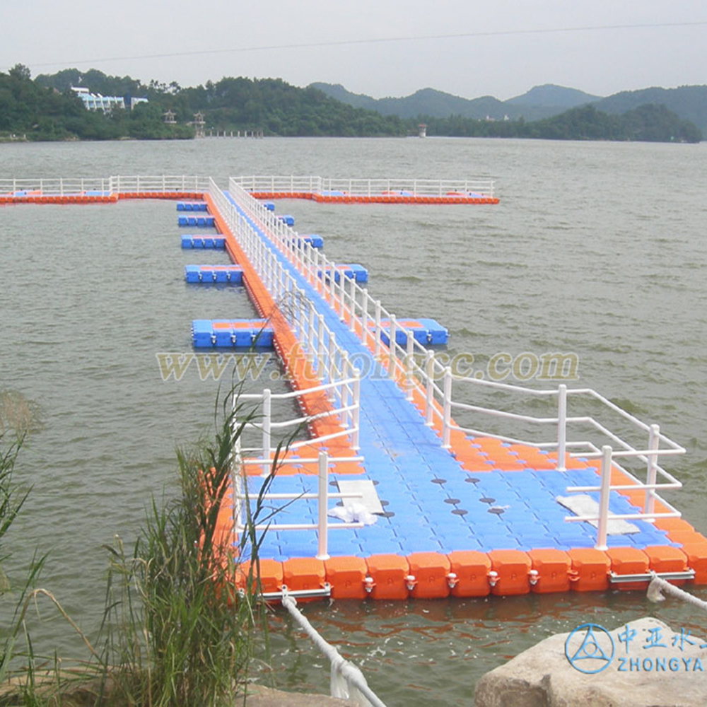
Jiangxi Zhelin Lake Floating Bridge
Lin'an Zhongdu Multifunctional Floating Wharf
Shijiazhuang Zhanghewan Reservoir Floating Pier

Inner Mongolia Shuijing Lake Floating Pier
Thousand Island Lake Southwest Scenic Wharf
Zibo, Shandong

Jiangsu Waterfront Beiguwan Wharf
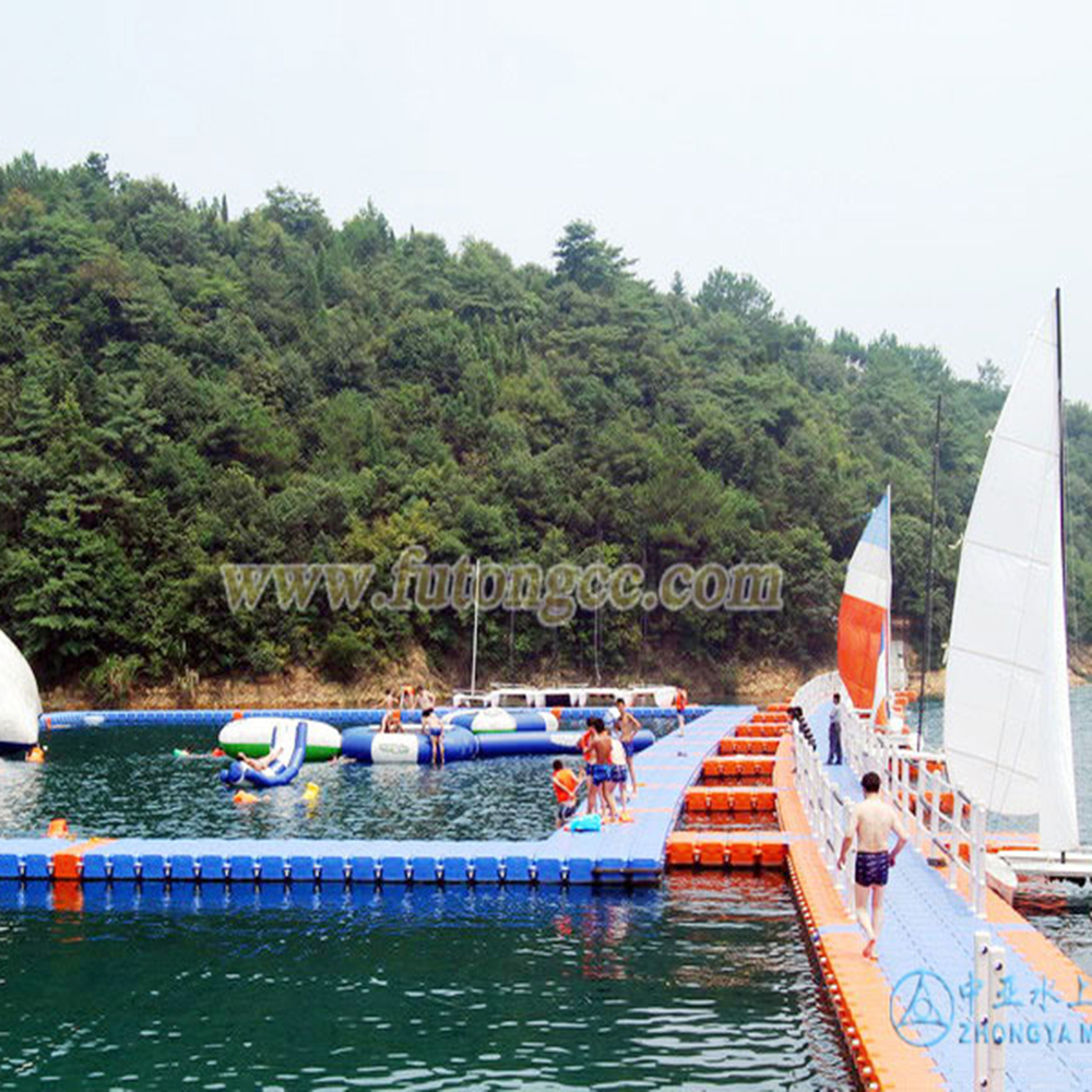
Thousand Island Lake Yacht Show Floating Platform
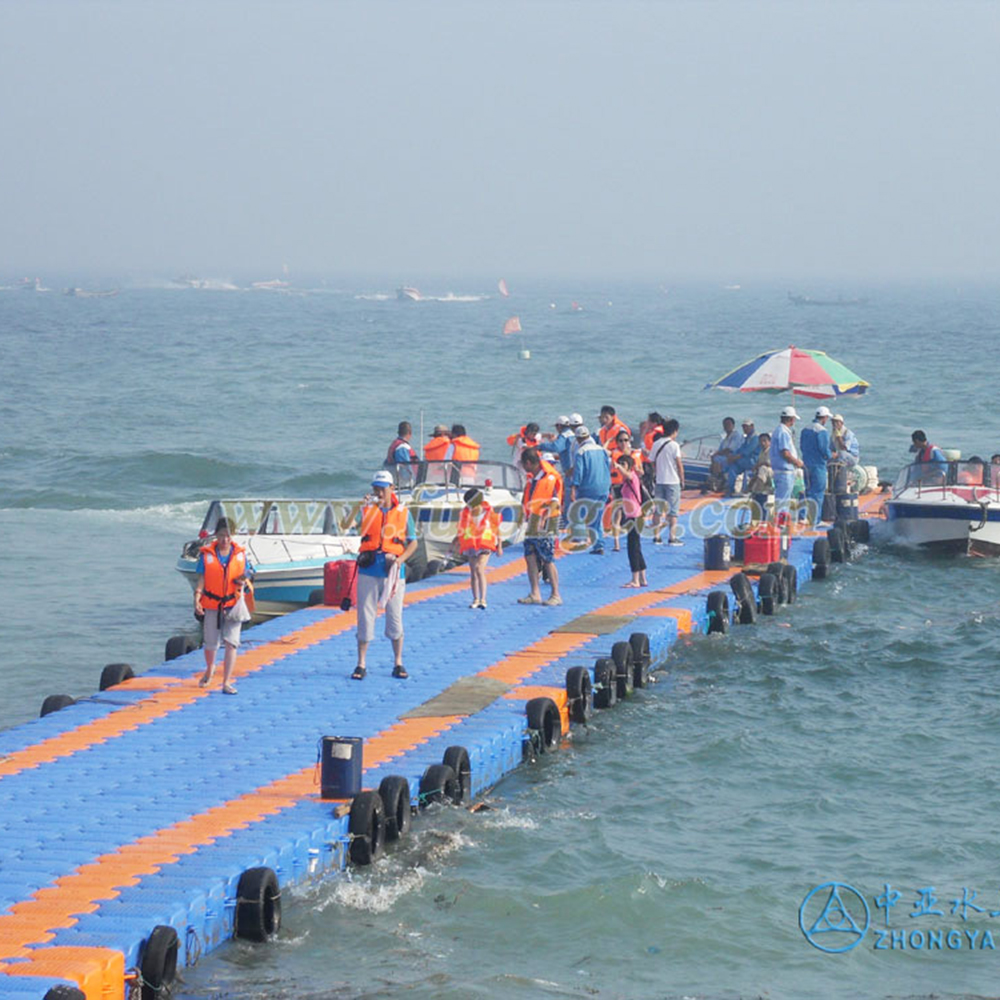
Guangxi Beihai International Passenger Terminal
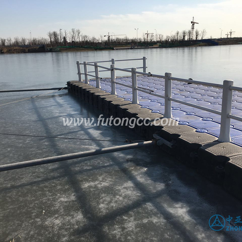
Floating wharf in freezing weather in the north
Dalian Heishitan Water Terminal
Floating Pier in Nanhu Wetland Park, Inner Mongolia
Ningbo Dongqian Lake Yacht Wharf

Chongqing Motorboat League Floating Platform

Hubei Qichun Henggang Mountain Floating Wharf
Cantonese Sand Bar
Qinhuangdao Beidaihe Floating Pier
Thailand emergency lifesaving platform
Dalian Jinshi Water Terminal
Liaoning Stone Buddha Temple
Contact us